
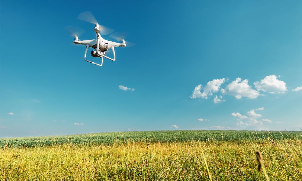
The use of aerial technologies in surveying and data collection has transformed the way professionals work in construction, agriculture, environmental monitoring, and infrastructure management. One of the most impactful tools in this shift is drone aerial mapping, a method that captures high-resolution data from above and converts it into meaningful spatial insights.
Whether you’re a surveyor, urban planner, or project manager, understanding how drone aerial mapping works and what it offers can significantly improve your approach to spatial planning and data accuracy. In this guide, we’ll explore how the process works, the technologies involved, and how GIS mapping with drones is enhancing spatial analysis in various sectors.
What Is Drone Aerial Mapping?
Drone aerial mapping is the process of capturing overhead images using drones, which are then stitched together and transformed into orthomosaic maps, 3D models, or digital elevation models (DEMs). These products allow professionals to analyze terrain, measure distances, and assess conditions without physically accessing every area on foot.
Modern drones are equipped with high-resolution cameras and GPS systems that ensure accurate geotagging of each image. By flying in overlapping paths, drones collect data that software can later process into detailed maps or models. This method replaces traditional survey techniques that are more time-consuming and less efficient over large or difficult terrain.
Benefits of Drone Aerial Mapping
There are several key reasons professionals are integrating drone aerial mapping into their workflows:
Speed: Drones can cover large areas in a short period.
Safety: Reduced need for personnel to work in hazardous or hard-to-reach environments.
Cost Savings: Fewer man-hours and minimal equipment reduce project costs.
Precision: High-resolution outputs enable more accurate planning and analysis.
Repeatability: Enables frequent data collection for tracking changes over time.
These benefits make it especially valuable for dynamic projects such as construction monitoring, road design, and flood modeling.
Step-by-Step Process of Drone Aerial Mapping
Mapping with drones typically involves the following steps:
Planning the Flight PathUsing flight planning software, operators set parameters such as altitude, overlap percentage, and area of interest.
Data CollectionThe drone flies autonomously along the designated path, capturing overlapping images of the ground below.
Image ProcessingThe images are uploaded to specialized software that stitches them into a seamless map or model.
AnalysisOutputs can be viewed, annotated, and measured. These files can also be integrated into Geographic Information Systems (GIS) for deeper spatial analysis.
This process ensures consistent results with minimal manual effort, allowing even small teams to conduct comprehensive surveys.
Use of GIS Mapping with Drones

Geographic Information Systems (GIS) are digital platforms used to visualize, manage, and analyze spatial data. When paired with drone technology, GIS mapping with drones creates a highly efficient and data-rich system for site analysis.
Here’s how GIS mapping with drones contributes to better decision-making:
Layered Analysis: Users can overlay drone data with existing GIS layers such as land use, zoning, and infrastructure layouts.
Change Detection: Repeated drone flights make it easy to compare temporal data for erosion, vegetation growth, or construction progress.
Precision Agriculture: Farmers use GIS to analyze drone data for crop health, irrigation needs, and soil variation.
Disaster Response: Emergency teams can assess flood zones, fire damage, or earthquake impacts in near real-time.
Thanks to its compatibility with popular GIS software, drone-generated maps enhance the granularity and accuracy of spatial datasets, making GIS mapping with drones an essential part of modern surveying.
Key Equipment and Tools Needed
To perform effective drone aerial mapping, a few essential components are required:
Drone with GPS: High-endurance drones with integrated GPS and gyroscopes for flight stability.
Camera or Sensor: RGB cameras for visual data, multispectral or thermal sensors for agriculture or utility inspections.
Flight Planning Software: Allows users to automate drone paths for systematic coverage.
Data Processing Software: Converts raw image data into usable outputs such as orthomosaics and 3D models.
GIS Integration Tools: Enables uploading processed data to GIS platforms for further analysis.
Each component plays a role in ensuring the accuracy, reliability, and usability of the mapping outputs.
Best Practices for Successful Drone Mapping
While the technology is robust, the success of any drone mapping project depends on a few best practices:
Plan for Weather: Clear skies and low wind ensure the best image quality.
Ensure Proper Overlap: Maintain at least 70% frontal and 60% side overlap for accurate stitching.
Use Ground Control Points (GCPs): These reference markers improve geospatial accuracy.
Regularly Calibrate Equipment: Keeps sensors and GPS working at peak performance.
Stay Updated with Regulations: Comply with local drone flight laws to avoid penalties or delays.
Applying these principles ensures that your mapping outputs are reliable and actionable.
Future Outlook of Drone and GIS Integration
As hardware improves and AI becomes more accessible, the future of drone aerial mapping is likely to be defined by automation and real-time processing. Algorithms are being developed to automatically detect features in aerial imagery, such as building outlines, crop patterns, or flood zones.
Moreover, cloud-based GIS platforms are making it easier to integrate, share, and analyze data across departments and locations. This trend is especially relevant to organizations that need to scale their operations without adding significant infrastructure.
The fusion of drones with GIS tools promises faster, smarter decisions, driven by data collected from above.
Conclusion
Modern surveying and data collection have evolved significantly with the advent of drone aerial mapping. When combined with advanced spatial tools, GIS mapping with drones provides unmatched accuracy and efficiency for a wide range of industries.
From construction to agriculture, professionals can now gather high-quality data, analyze it through GIS platforms, and make informed decisions based on real-world visuals and measurements.
Organizations looking to adopt cutting-edge aerial solutions can look to trusted providers like Asteria Aerospace, whose commitment to innovation and reliability is helping shape the future of drone-enabled spatial intelligence.